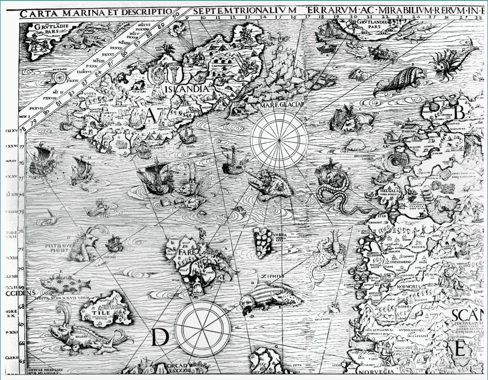
Section of the Carta Marina showing thin lines all over the ocean showing its movement, along with sea creatures and land features.
https://fediscience.org/system/media_attachments/files/110/161/804/306/525/890/original/a1ef25e50c2c8524.jpeg
In 1539, an extraordinary map was published by a Swedish priest – the Carta Marina - which showed the ocean as a place with an astonishing level of detail. The most notable features were large whorls east of Iceland, which might represent eddies at the Iceland-Faroe Front, an internal ocean boundary separating warm and cold water. Early mariners had to be very careful observers of the ocean environment. Read more here: http://www.po.gso.uri.edu/rafos/general/if_front/rossby_carta_2003.pdf #ocean #maps #history
Bobinas P4G is a social network. It runs on GNU social, version 2.0.1-beta0, available under the GNU Affero General Public License.
![]() All Bobinas P4G content and data are available under the Creative Commons Attribution 3.0 license.
All Bobinas P4G content and data are available under the Creative Commons Attribution 3.0 license.